Project: Weather FAX Receiver
Site Navigation
‣
Projects |
|
Beside some geostationary weather satellites, where you have to pay for a code, there are still the free receivable weather FAX satellites from the National Oceanic an Atmospheric Administration (NOAA) organization operating. In ~800 km flight height, they orbit around the earth. Currently active are the NOAA 15 (137.62 MHz), NOAA 18 (137.9125) and NOAA 19 (137.10 MHz).
The
flight path can be seen with a satellite tracking program: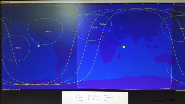
The
satellites can be easily received with a wideband FM receiver and
have a significant spectrum. Here it is made visible with the SDR
console program with
a waterfall diagram:
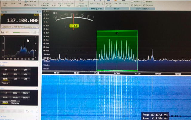
The disadvantage of this program is that the frequency need to be adjusted manually. Therefore I built an own weather fax receiving device, based on the R2FX receiver. I added a signal strength and a current meter for the LNA phantom supply and indicators for RX/TX to the remote control computer, where the Wxtoimg decoding software is running.
Here
the receiver inside:
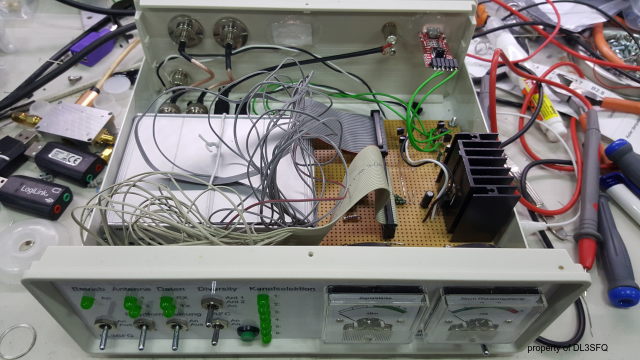
and
the front:
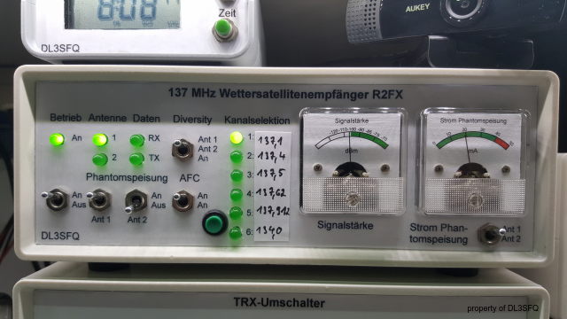
To
decode the audio, there a some free software programs available. I
use Wxtoimg, which has the possibility to remote control my
weather fax receiver. In the picture below you can see how
the
picture is building up, first
in
raw format (left side):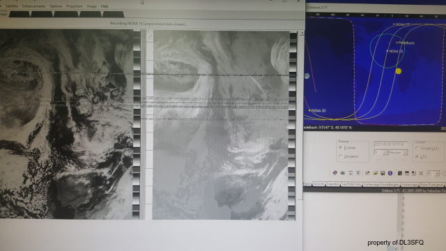
After
the picture is completely received, the pre-processing starts with
a map underlying and
several enhancement
modes.
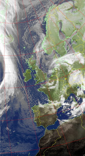
I like the MCIR enhancement
which gives pictures like this:

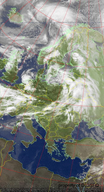
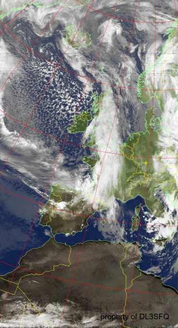
Here
some further example pictures:
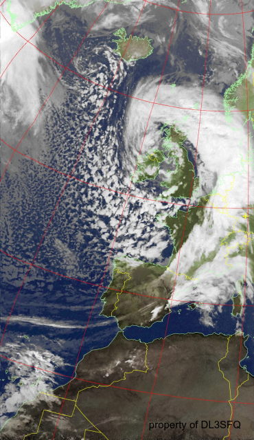
As a feature, Wxtoimg allows to automatically upload the received and reprocessed pictures. You are welcome to have a lock also on the latest received ones here.